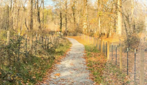
The project focused on creating an inventory of all current park and trail locations and associated resources, including equipment. Students mapped the city’s trails and created a series of maps and/or infographics to depict trail locations and assessments of trail conditions. Students worked with available GIS data and set up the data for use by future classes.
Students also began a broad-based effort to find out what the community feels is missing from the current park and trail systems, and what they would like to see added to those systems in the future. Students conducted initial outreach efforts to City-selected stakeholder groups to gather input. Incorporating this initial feedback, they made recommendations on needed enhancements to specific parks and trails, and shape future outreach for this project.
Finally, students created a demographic profile of the city over time, including a current snapshot. The students reported their findings in a white paper which will inform subsequent classes and the final draft plan.
